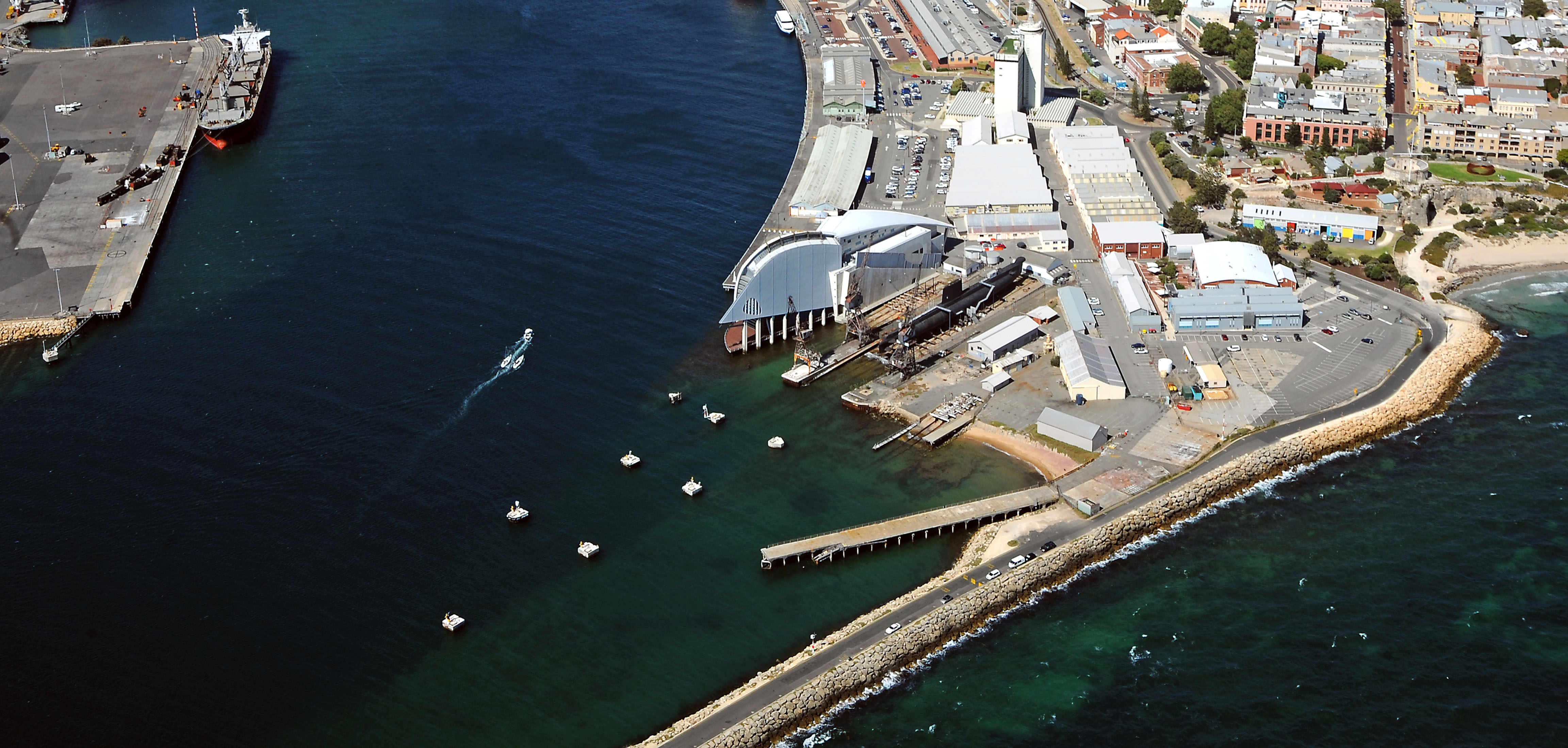
West End Victoria Quay Planning Precinct
This planning precinct covers the non-operational area mostly open to the public and extends west from the car park near D Shed through to the end of South Mole.
These planning documents apply to this precinct and help ensure any proposed development and land use complies with requirements set and positively contributes to the long-term sustainability of the port.
Land Use Table
The Land Use Table - Waterfront West End Victoria Quay precinct is now available and will launch as an Excel Spreadsheet, with accompanying explanatory text.
Buffer Guidelines Collapse and expand this accordion
Development Plans Collapse and expand this accordion
Electrical Services Collapse and expand this accordion
Environmental Guidelines Collapse and expand this accordion
Fact Sheets Collapse and expand this accordion
Landscaping Collapse and expand this accordion
Planning Approvals Collapse and expand this accordion
Planning Policies Collapse and expand this accordion
Find out how you can explore the port or get ferry and cruise info...